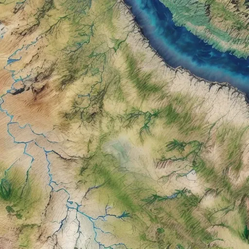
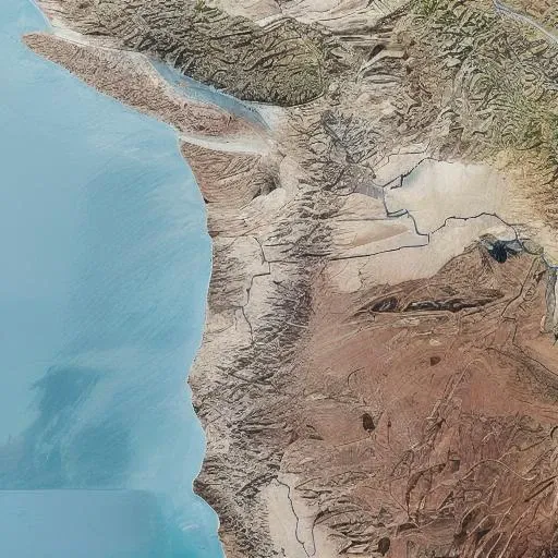
A close up of a satellite map of a river and land

자극적인 내용이 있어, 우리에게 딱 맞아.
satellite image of oeax location, mapsatimageeu, (gamelandscapeheightmap512:0.5), cost, ((ocean)), mesa, hills, rivers,
프롬프트
Copy prompts
satellite image of oeax location, mapsatimageeu, (gamelandscapeheightmap512:0.5), cost, ((ocean)), mesa, hills, rivers,
정보
Checkpoint & LoRA
Checkpoint
Earth Satellite Image Map Generator Mix
0개의 댓글
0
1
0